HISTORIX Vintage 1870 Warren Ohio Map Poster - 18x24 Inch Old Map of Warren Ohio
Ships from
United States

Shipping options
Seller handling time is 1 business day Details
This reflects the seller's handling time and may not include time spent in transit.
If you have questions about shipping, please contact the seller.
No shipping price specified to GB
Ships from
United States
Return policy
Full refund available for DOAs
Details
- We guarantee our products and offer full refunds or exchange for defective items or items not as-described.
- Buyer must contact us within 30 days after receipt of shipment.
- The item must be received in the same condition as shipped.
- Items must be returned with all original packaging and accessories.
- Items must not be abused, modified or damaged by accident.
- A 20% restocking fee will be charged for returns
- Buyer is responsible for all return shipping and handling fees.
- Restocking and return shipping fees do not apply when item is returned as defective or because incorrect product was delivered.
Payment options
PayPal accepted
PayPal Credit accepted
Venmo accepted
PayPal, MasterCard, Visa, Discover, and American Express accepted
Maestro accepted
Amazon Pay accepted
Nuvei accepted
Item traits
| Category: |
Kitchen Scales
|
| Quantity Available: |
16 in stock
|
| Condition: |
New
|
| UPC: |
737214980322
|
| Item Name: |
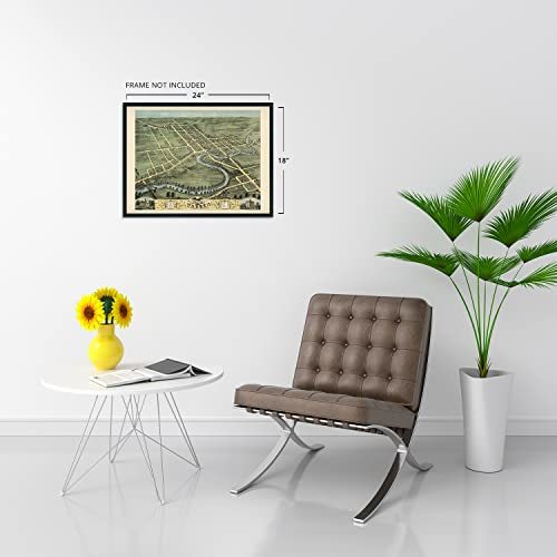
1870 Warren, Trumbull County, Ohio Poster Print
|
| Item Type Keyword: |
prints
|
| sizes: |
View details
24L" x 18W" (8 in stock)
30L" x 24W" (8 in stock)
|
Listing details
|
Seller policies:
|
View seller policies
|
|
Shipping discount:
|
Seller pays shipping for this item.
|
|
Posted for sale:
|
May 1
|
|
Item number:
|
1743606985
|
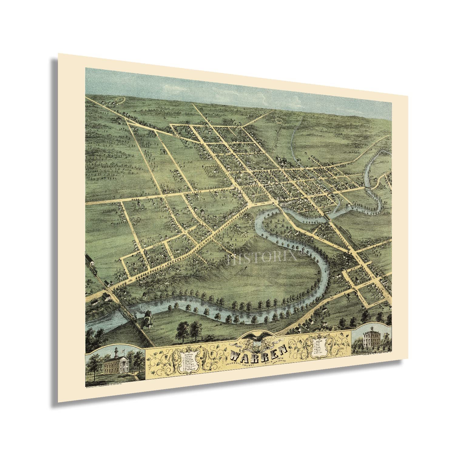
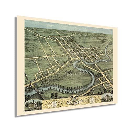
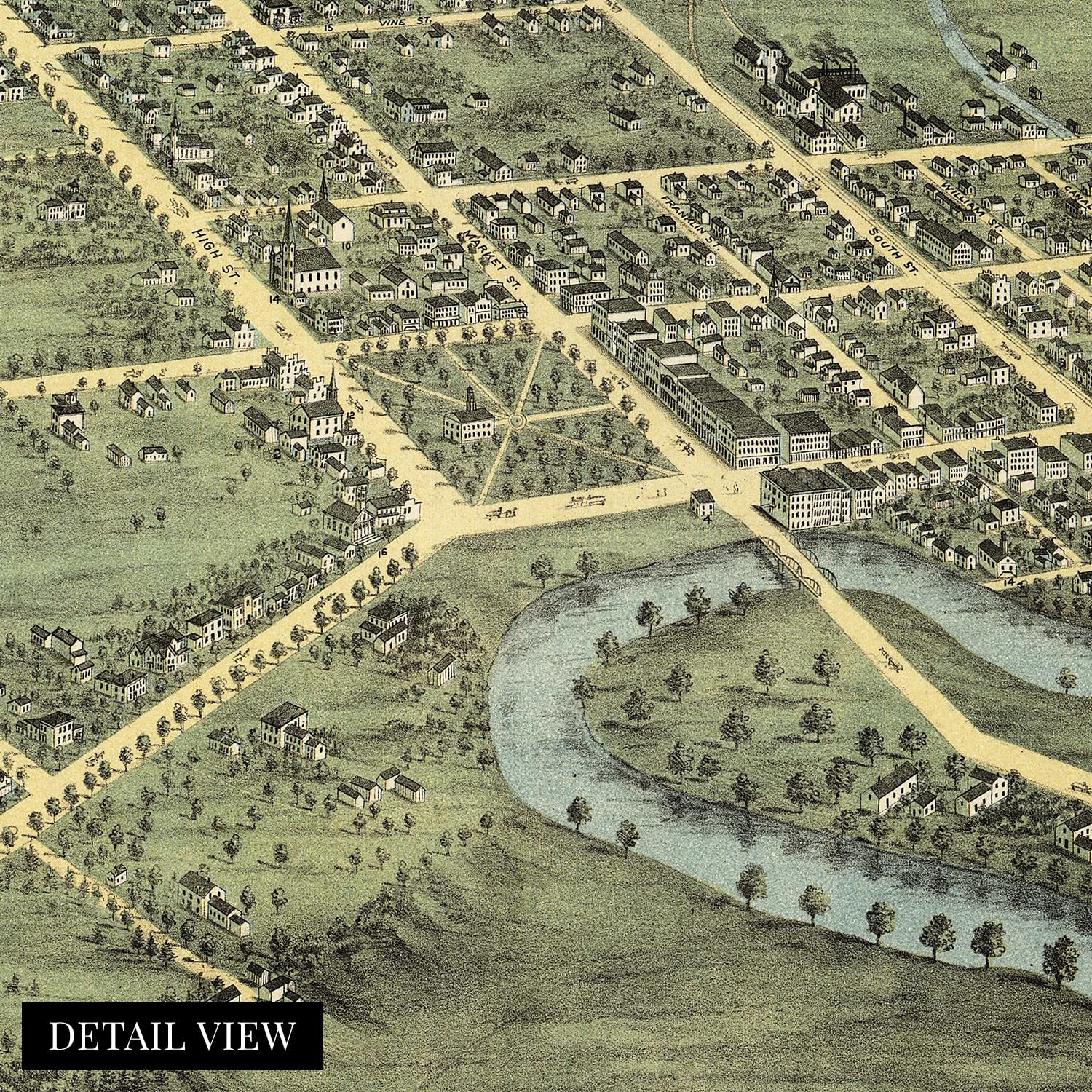
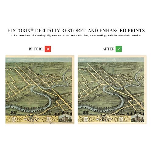
Produced and published by one of the pioneers of the birds eye perspective form, Albert Ruger, this stunning depiction of Warren, Ohio, illustrates the city in a period of significant transformation and growth in the years following the conclusion of the American Civil War. Initially founded in 1798, Warren was experiencing considerable prosperity in the later portions of the nineteenth century as a manufacturing and trading hub for Northeast Ohio. The city was the first to install electric street illumination and became a major steel producer during the Industrial Revolution.
Panoramic maps were widely popular during the mid-nineteenth century until the 1920s, when advances in aviation and photography allowed aerial photography to become the norm. The unique aesthetic and distinctive style of birds-eye perspectives immediately transport the viewer back in time, creating an indelible bond between the past and present. Ruger was instrumental in popularizing perspective maps which served as marketing materials to promote prominent civic features, religious, cultural, and educational institutions, as well as other economic opportunities to attract residents and merchants alike. Warren’s location on the Mahoning River allowed for the establishment of mills and factories during the nineteenth century and by 1870 had become a regional attraction.
This is an authentic piece of American cartographical history that captures Warren’s rich history. The city has come to be known as the Historic Capital of the Western Reserve, and as the seat of Trumbull County, Warren remains a cultural and economic center for the surrounding areas.
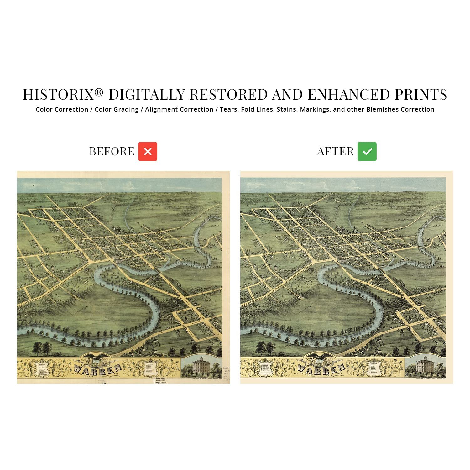
Our museum quality giclee print comes printed with archival ink on premium heavyweight matte paper. Shipped in a sturdy cardboard tube your print will arrive ready to be framed. This eye-catching vintage map reproduction print makes the perfect gift for anyone that loves history and imagery.